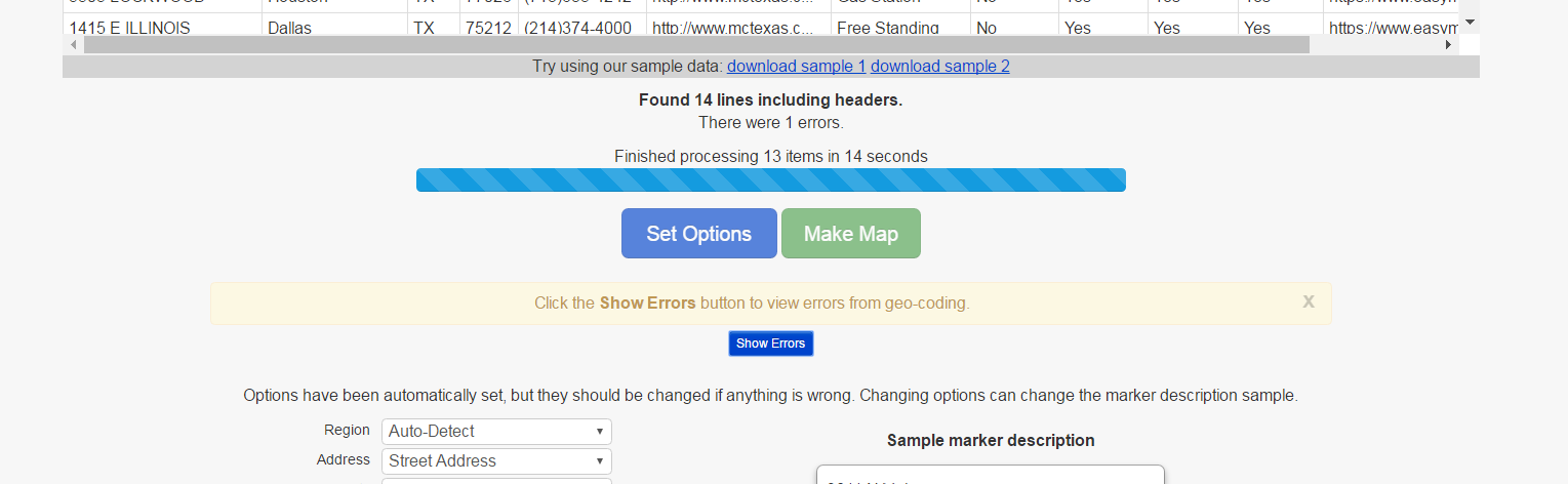
On the map creation page the locations that could not be geo-coded show up in an error table as seen in the following images:
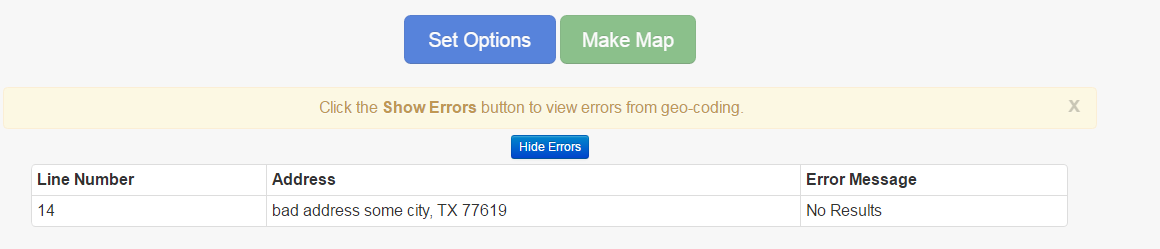
Click show Error button to see errors:
Errors in Error table:
On the Edit page, the original data can be re-inserted and re-mapped. The data that had errors will get reprocessed and the successful data will use the information that was already processed. The locations with errors can be seen using the error table (shown above).